Roads, rail lines, power lines, water lines and gas lines — accurate corridor surveys for linear infrastructure.
Compensation surveys of farms, crops and buildings, plus resettlement surveys for affected communities.
Regularization of title — deeds and land title surveys executed to legal precision.
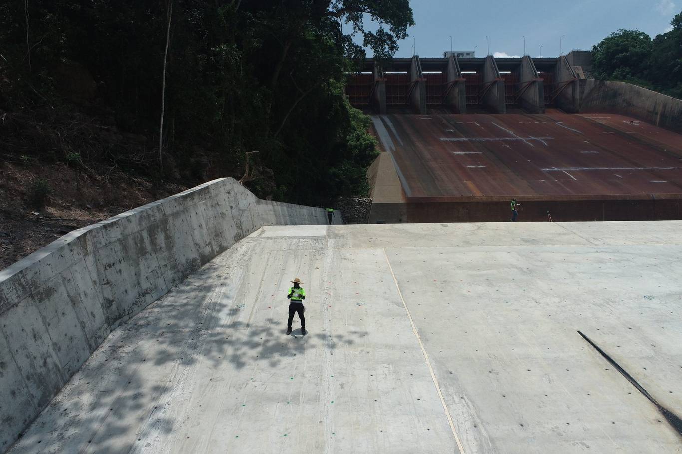
Setting-out and control for the construction of dams, roads, buildings and major infrastructure.
Bathymetric surveys of water bodies and detailed topographic surveys for design and planning.
Topographical surveys, GPS/GNSS control networks and ground modelling services.
Volumes for cut & fill, muck shift, stockpiles, quarries and landfills — accurate to the cubic metre.
Traffic studies data collection to support transport planning and engineering design.
Development of Geographic Information System (GIS) applications tailored to your data.
Geological surveys supporting mining, exploration and environmental projects.
Hands-on professional training for teams and individuals entering the geospatial field.
Survey-grade aerial mapping with Phantom 4 RTK for fast, safe, high-resolution capture.
Our drone services turn aerial capture into precise, actionable deliverables:
Professional-grade instruments and industry-standard software behind every project.
Tell us about your site and goals — we'll recommend the right approach and a cost-effective scope.
Request a consultation