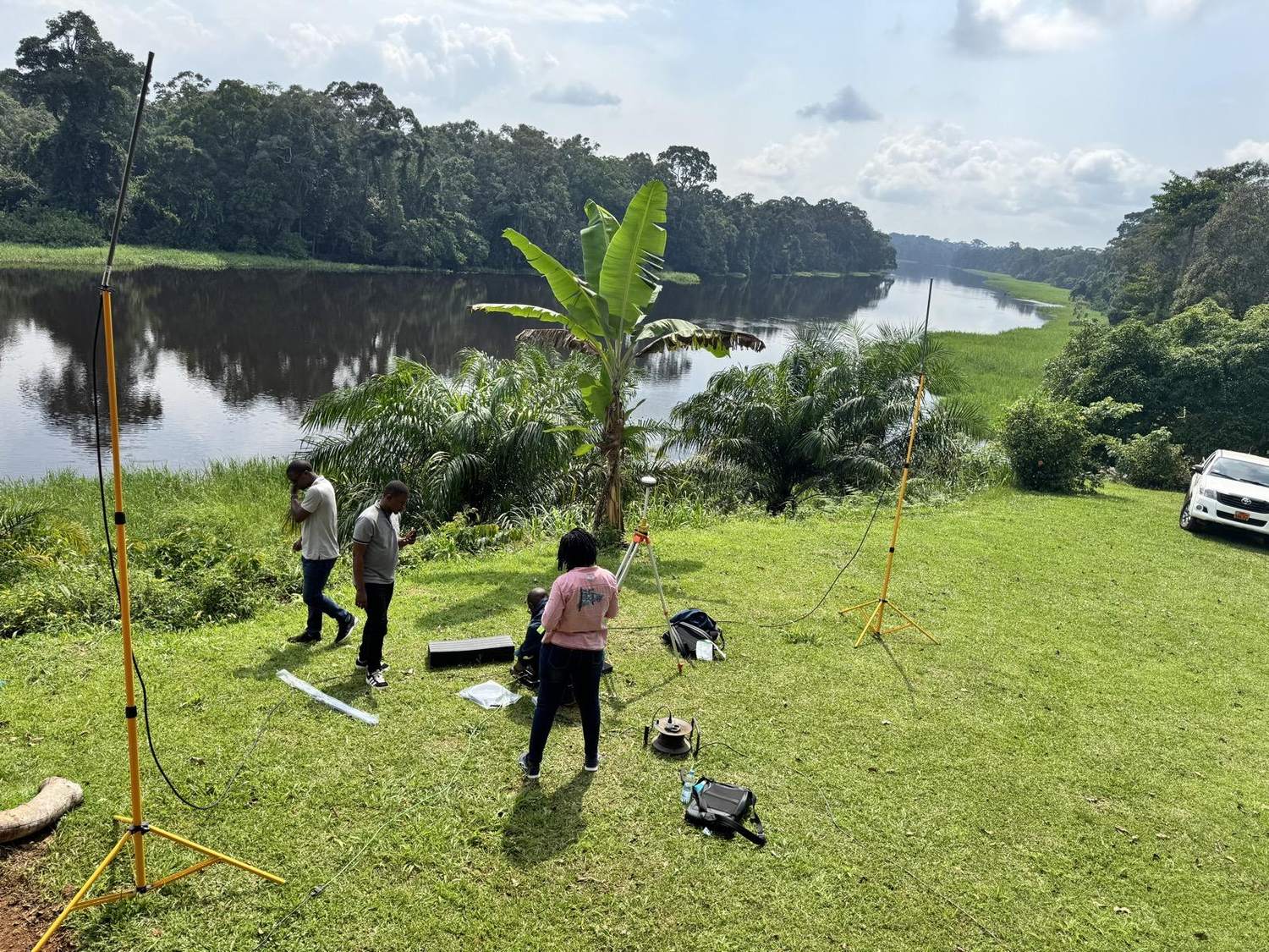
Consulting geo-information engineers, drone technicians and professional land surveyors — delivering technically sound, economically viable Earth Science solutions across Ghana.
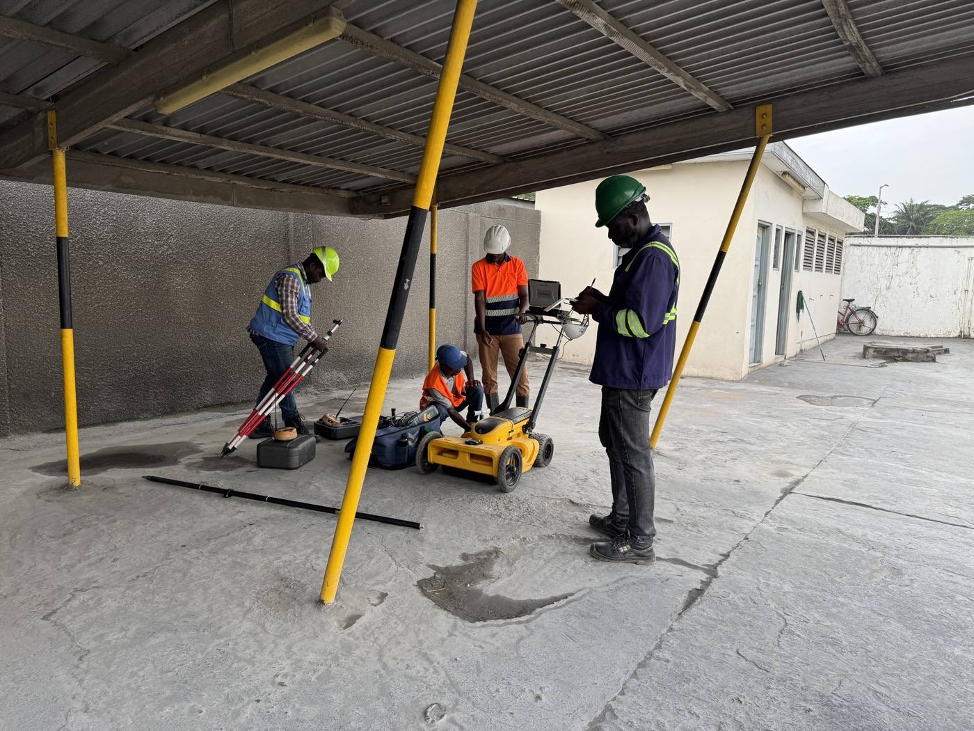
Founded in June 2020 and registered under the Companies Act 1963 (Act 179) of Ghana, Nexxis Engineering Limited brings together a well-experienced team of registered surveyors and professional managers. We have the technical expertise, equipment and technology to deliver the best solutions to our clients.
One accountable team across land, engineering, topographic and drone surveying.
Cadastral surveys for title regularization, route-line surveys for roads, rail, power, water and gas, plus compensation and resettlement surveys.
Setting-out and control for the construction of dams, roads, buildings and other major infrastructure.
Orthomosaics, feature capture, DEM/DSM/DTM and 3D models from Phantom 4 RTK aerial survey.
Topographical surveys, GPS/GNSS control networks, ground modelling and bathymetric surveys.
Cut & fill, muck shift, stockpiles, quarries and landfill volumes for accurate billing and planning.
GIS application development, geological surveys and professional GPS / GNSS / GIS training.
The principles behind every survey we deliver.
We maintain the highest level of accuracy and precision on every dataset we capture and deliver.
Projects delivered on time and within an agreed budget, every time.
We continually embrace new technology and techniques to the advantage of our clients.
Innovative, adaptive and creative — we deliver service that exceeds expectations.
We adhere to all safety practices and the highest ethical industry standards.
Cost-effective approaches aligned to each project's goals and objectives.
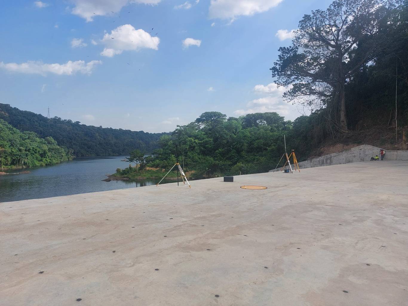
From dense urban sites to remote terrain, our team and equipment deliver dependable data wherever your project is.
From dam infrastructure to mining stockpiles and road corridors.
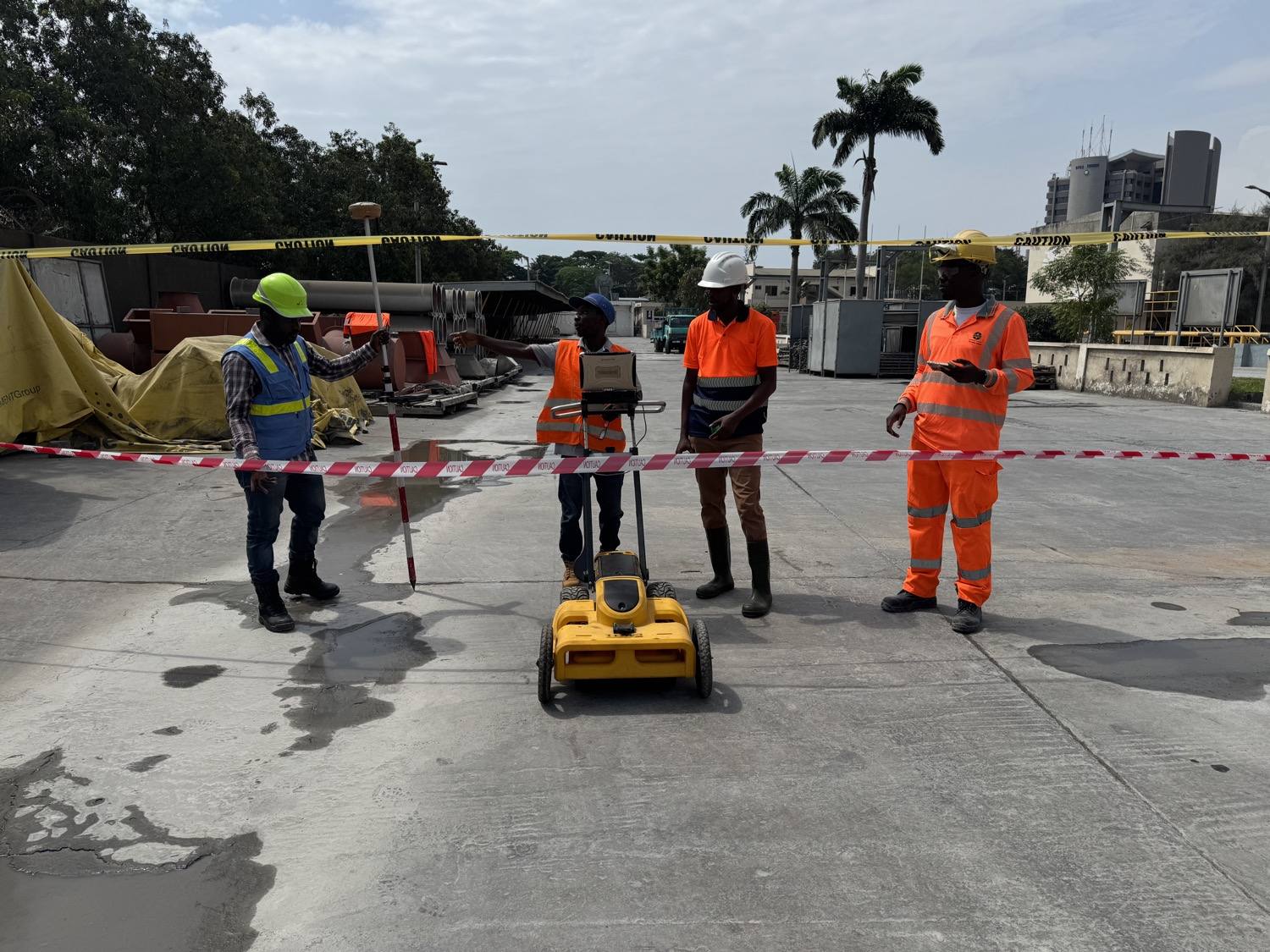
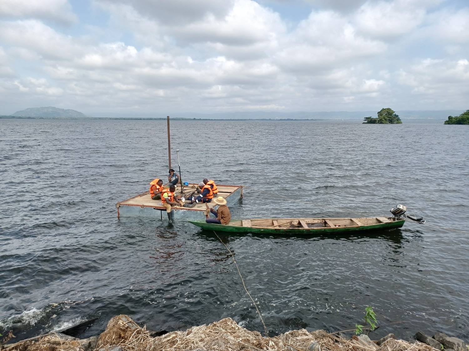
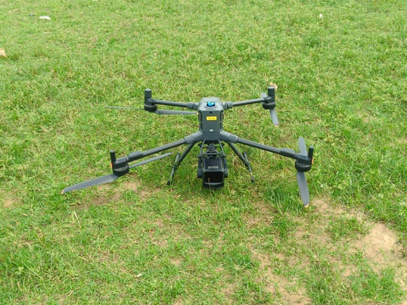
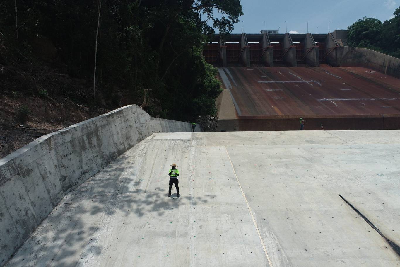
While projects differ in timeframe and budget, our process stays consistent.
We work with you to set a cost-effective budget that reflects your project's goals.
We coordinate resources and timelines so the project stays on time and on budget.
Survey-grade GNSS and drone capture, then modelling, analysis and quality control.
Clear, accurate deliverables you can act on with full confidence.
We have delivered surveys for leading mining, energy, infrastructure and public-sector organisations.




Trusted by engineering firms, mining companies and public-sector teams across Ghana.
Nexxis delivered our topographic survey ahead of schedule and the accuracy held up through the entire build. A genuinely reliable partner.
Their drone volumetric reports gave us stockpile figures we could trust for billing. Professional from the first call to the final report.
Accurate data, clear deliverables and a team that understands engineering deadlines. We keep coming back to Nexxis.
Tell us about your project and our team will respond with a scoped, cost-effective proposal.
Get in touch