From the field

Project gallery

Click any image to view it larger.

Aerial drone survey of a dam spillway
Aerial / Drone Survey

Dam aerial survey & mapping

GPS control survey
GPS Control

GPS control survey

Topographic survey in the field
Topographic

Topographic survey

Setting-out works for construction
Engineering Survey

Setting-out for construction

RTK drone deployment
Photogrammetry

RTK drone deployment

Detail survey on site
Detail Survey

Site detail & cadastral survey

Dam spillway survey
Infrastructure

Dam spillway survey

Nexxis field survey team
Our Team

Field survey crew

Setting-out works for construction
Engineering Survey

Construction setting-out

Pipeline route survey
Route-line Survey

Pipeline route survey

Precise levelling on a construction surface
Precision Levelling

Engineering levelling works

Rural GNSS survey
GNSS

Rural GNSS survey

Field surveyor on site
Topographic

On-site field survey

Survey team on a project site
Detail Survey

Project site survey

Company milestones

Our journey so far

2020

Founded in Ghana

Established as a local investment and registered under the Companies Act 1963 (Act 179), with early contracts in mining, sports and public-sector mapping.

2021

Energy & mining expansion

Delivered surveys for Kibi Gold, METKA's Ejisu power sub-station, GNPC and major road corridors.

2022

Large-scale aerial mapping

Aerial survey and base-map production for Asanko Mine, Odaw–Korley drains and GSGCP road & infrastructure.

2023

National health & infrastructure

Aerial & topographic survey for the NHIA Teshie project and aerial mapping of health facilities for Zipline Ghana.

Survey in progress
Selected track record

Projects by sector

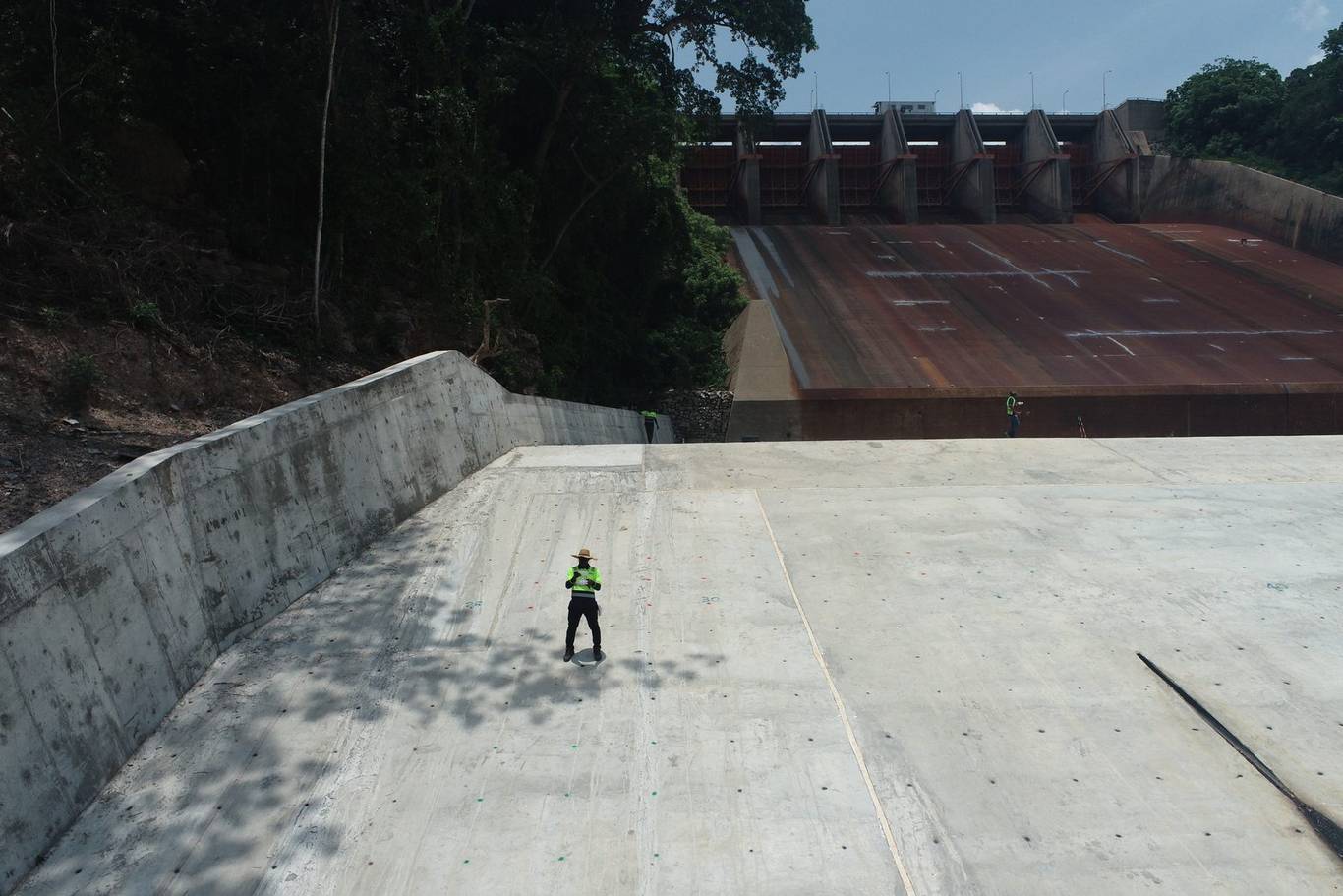
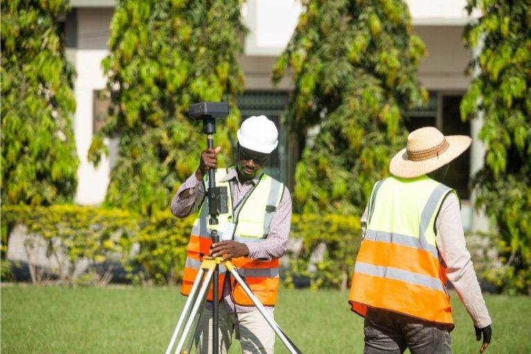
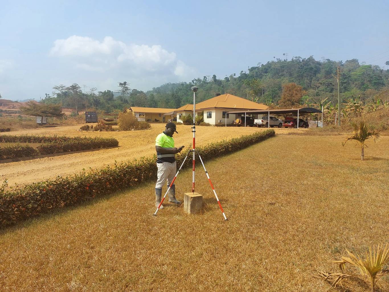
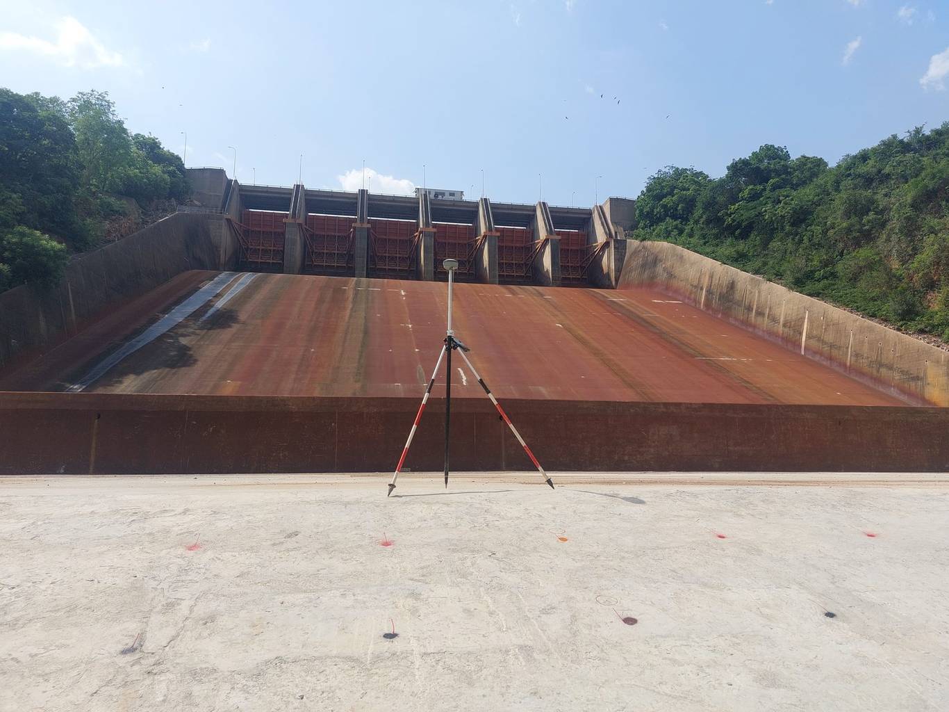
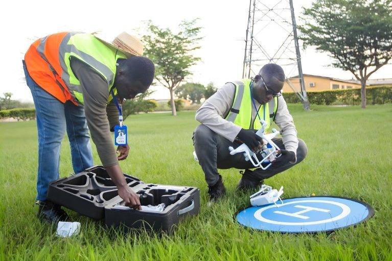
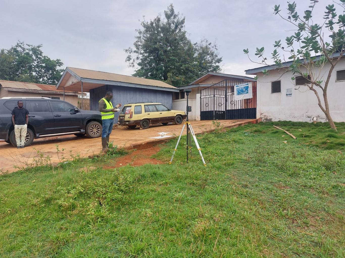
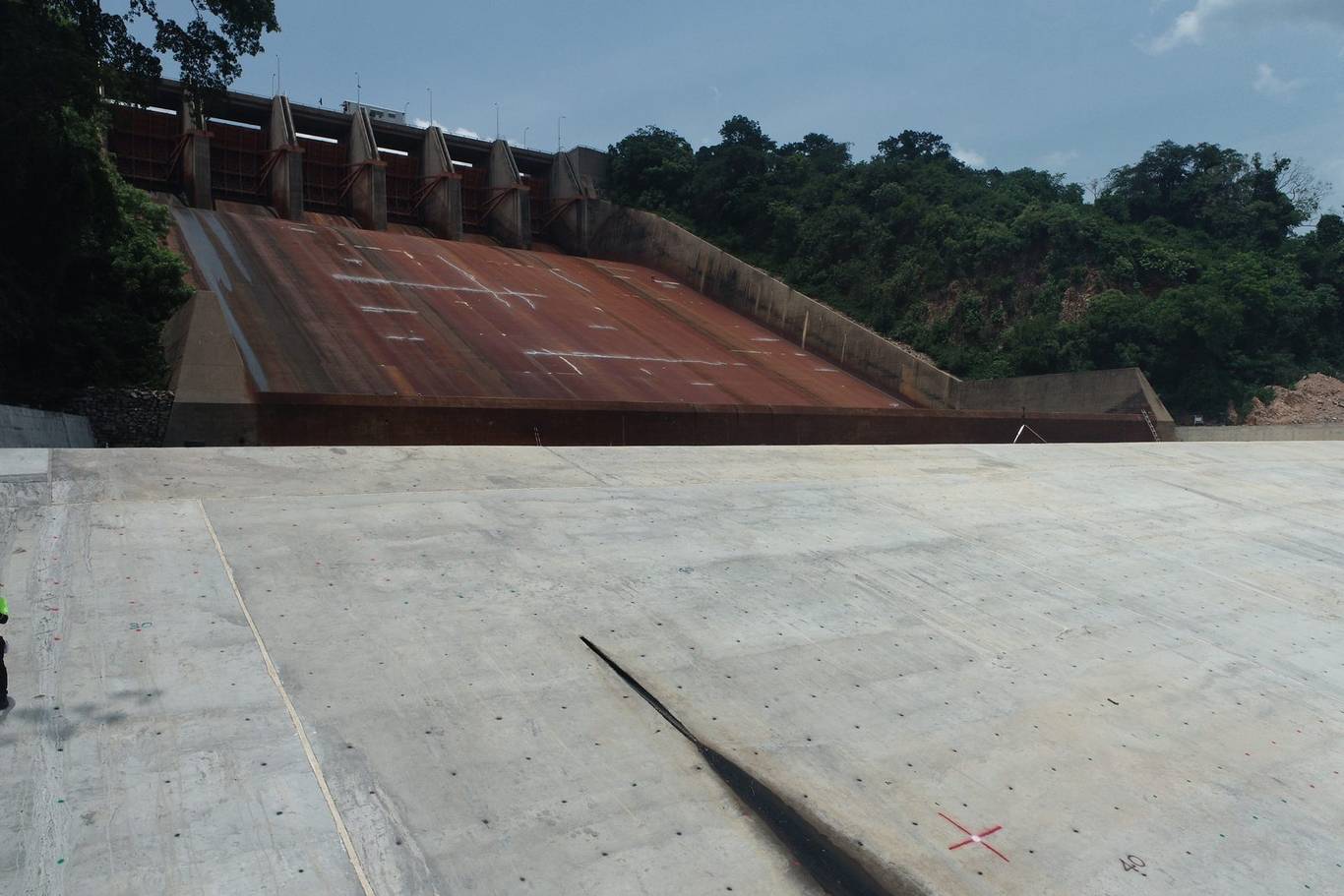
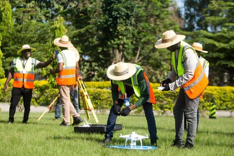
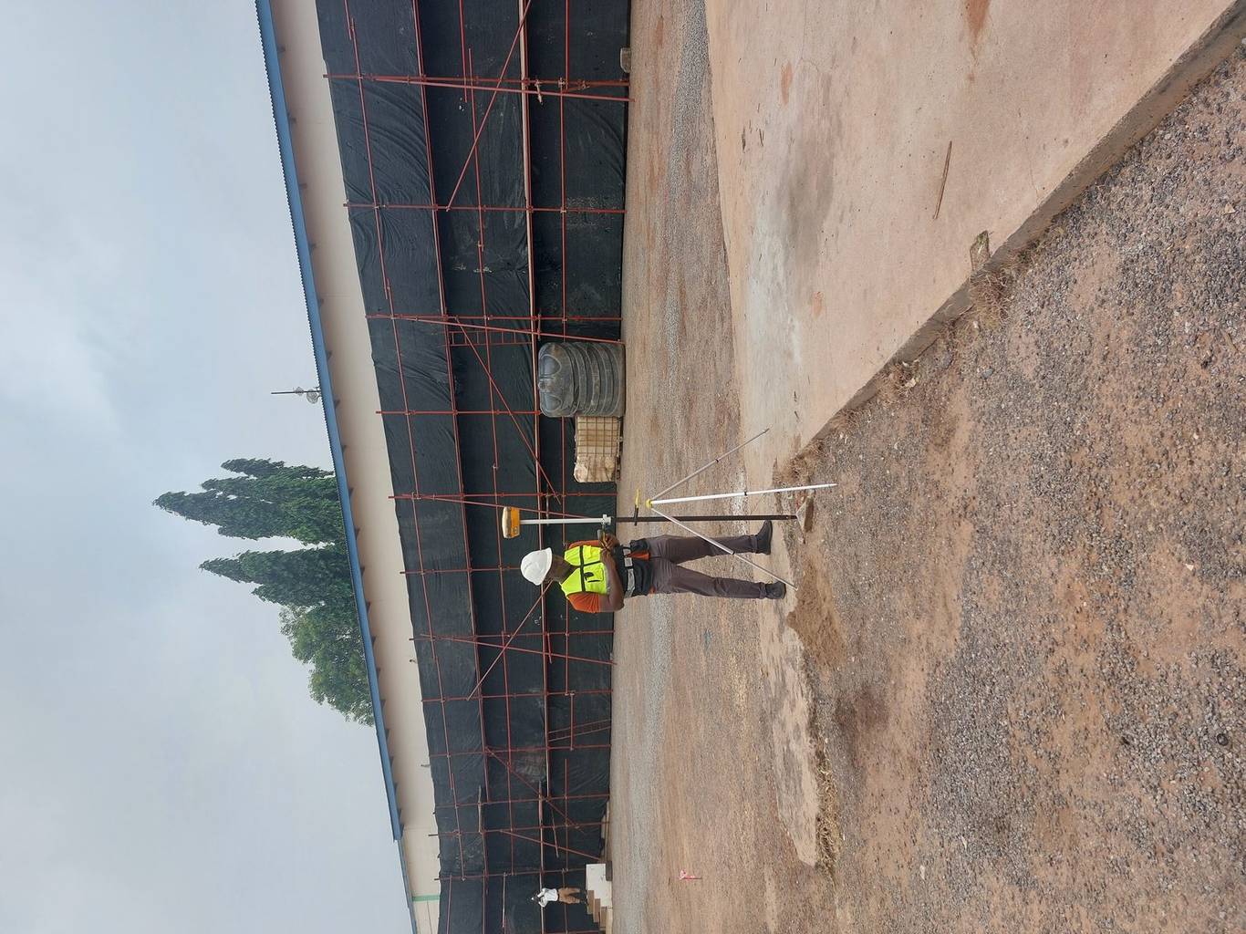
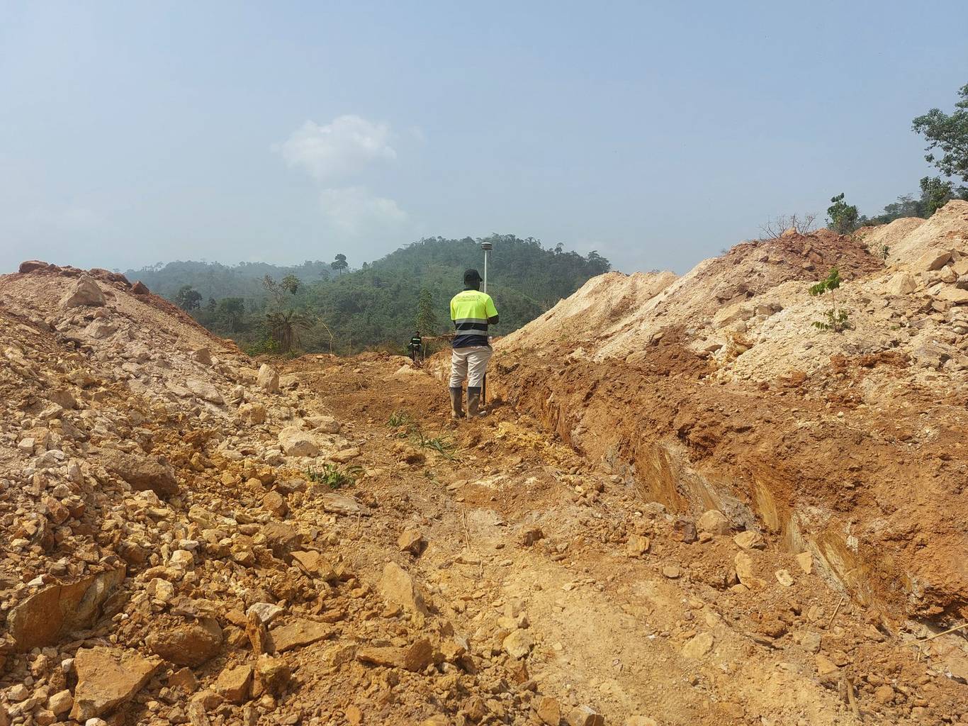
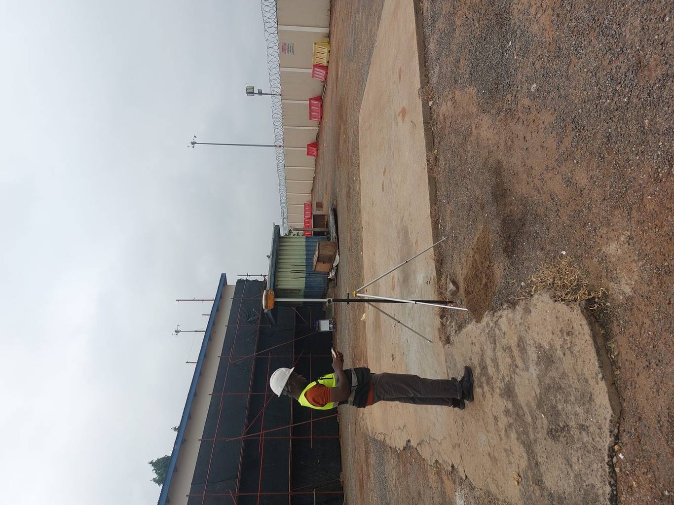
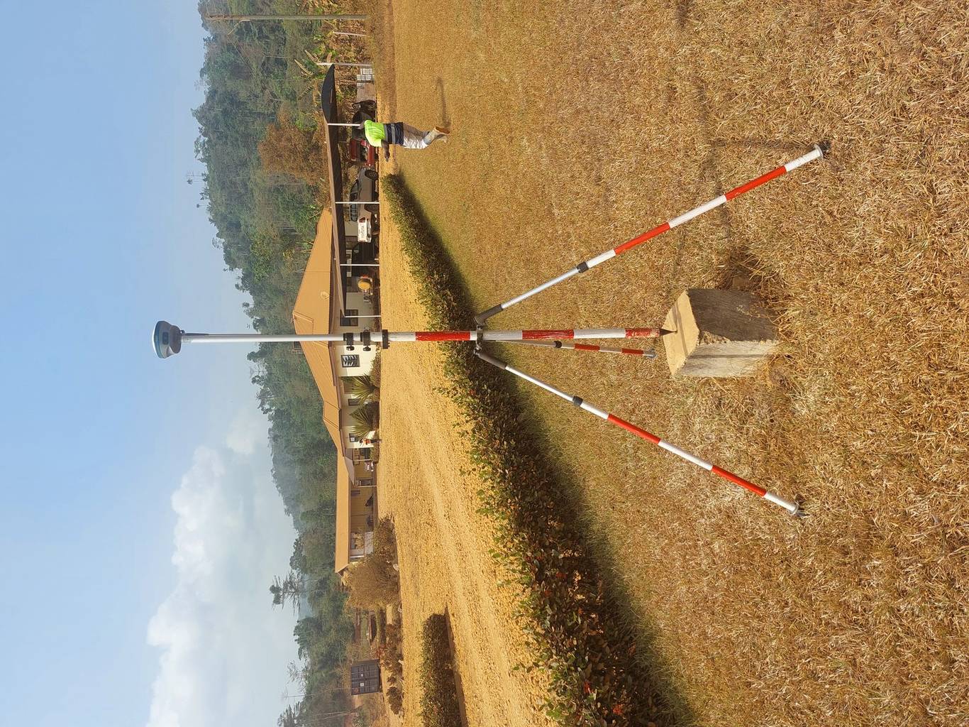
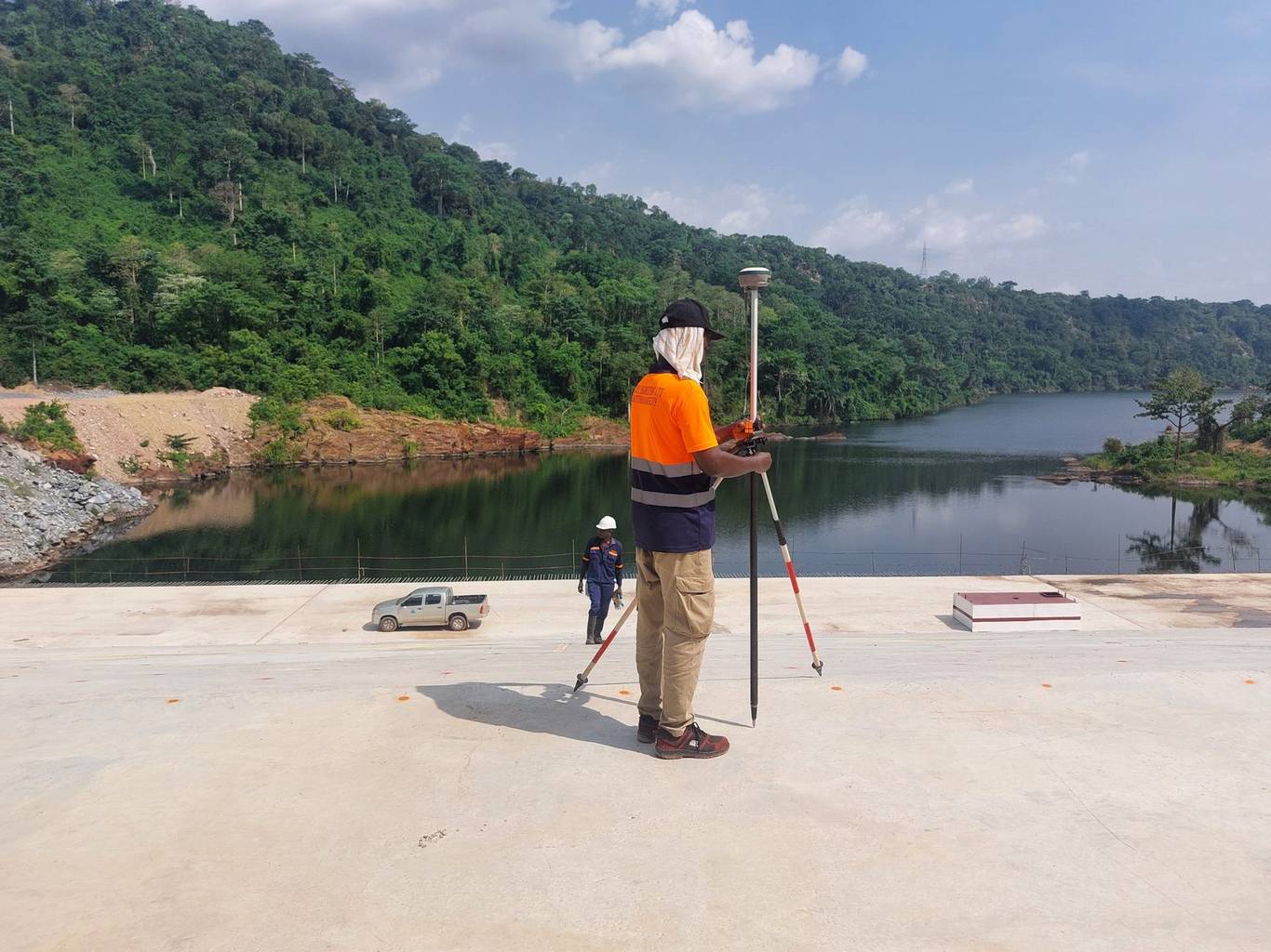
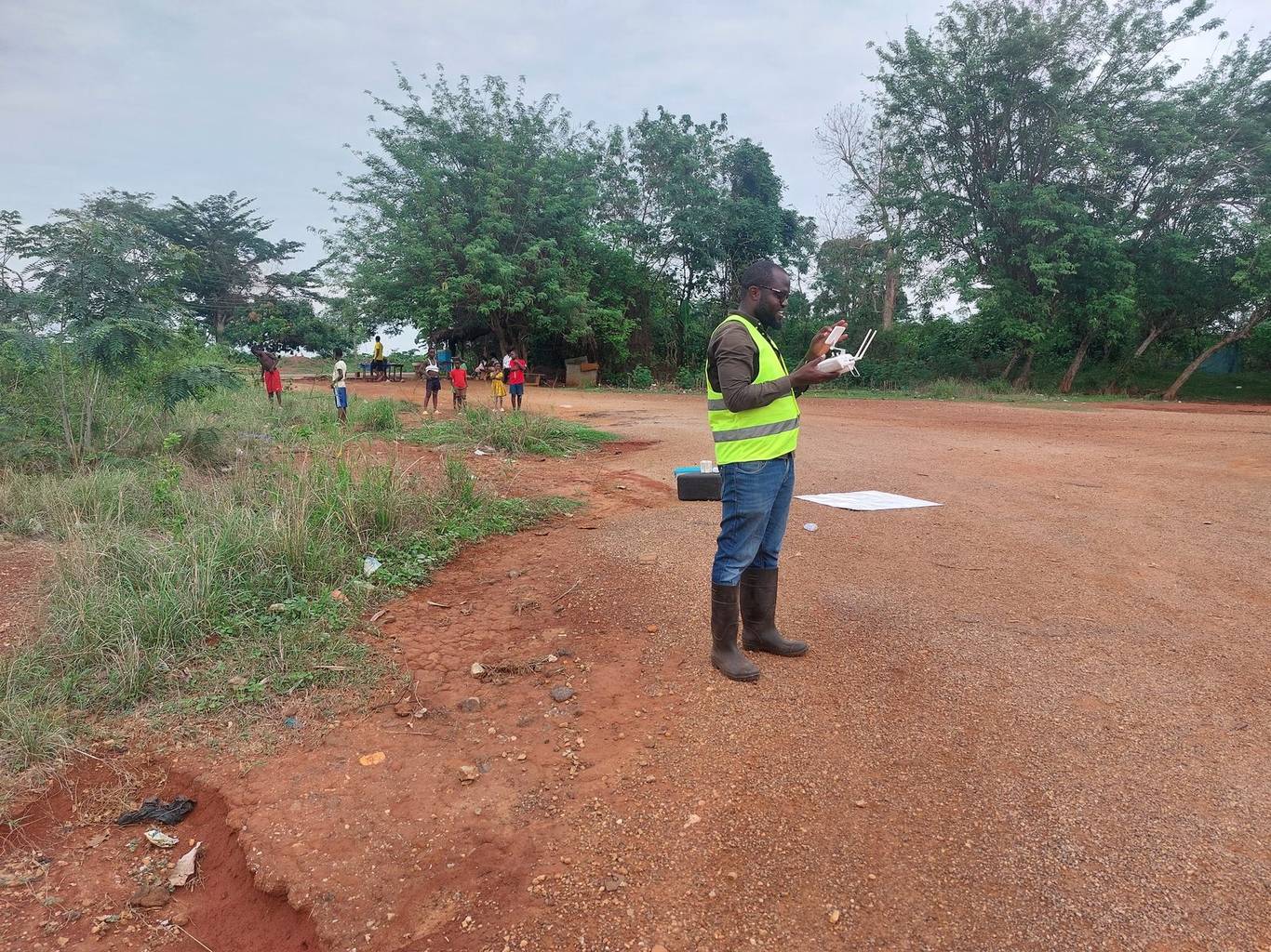
A selection of surveys delivered for clients across Ghana.

Mining & resources

  • AngloGold Ashanti, Obuasi Mine — joint survey project
  • Asanko Mine — aerial survey & base-map production
  • Kibi Gold Limited — topographic & detail survey
  • Ghana Bauxite Company — drone stockpile survey

Energy, oil & gas

  • Ghana Gas Company — pipeline route survey, Atuabo to Côte d'Ivoire border
  • GNPC — topographic & detail survey
  • METKA Ghana — Ejisu power sub-station survey

Roads & infrastructure

  • Tema Arterial Road project
  • Takoradi Roundabout road expansion
  • Amantin–Atebubu roads — K.E & T Engineering
  • GSGCP road & infrastructure project
  • Odaw–Korley drains — aerial mapping

Public sector, health & real estate

  • Ghana Atomic Energy Commission — topographic base map
  • Zipline Ghana — aerial mapping of health facilities
  • NHIA Teshie — aerial & topographic survey
  • Accra Hearts of Oak — topographic survey
  • SIMCOM Engineering — 30 acres at Sankor S.H.S
  • EcoSense Ghana — boundary demarcation & geological survey

Your project could be next

Join the organisations that trust Nexxis with their surveying and mapping.

Start a conversation